%22%20preserveAspectRatio%3D%22xMidYMid%20meet%22%2F%3E%3C%2Fsvg%3E)
AllTrails
Description
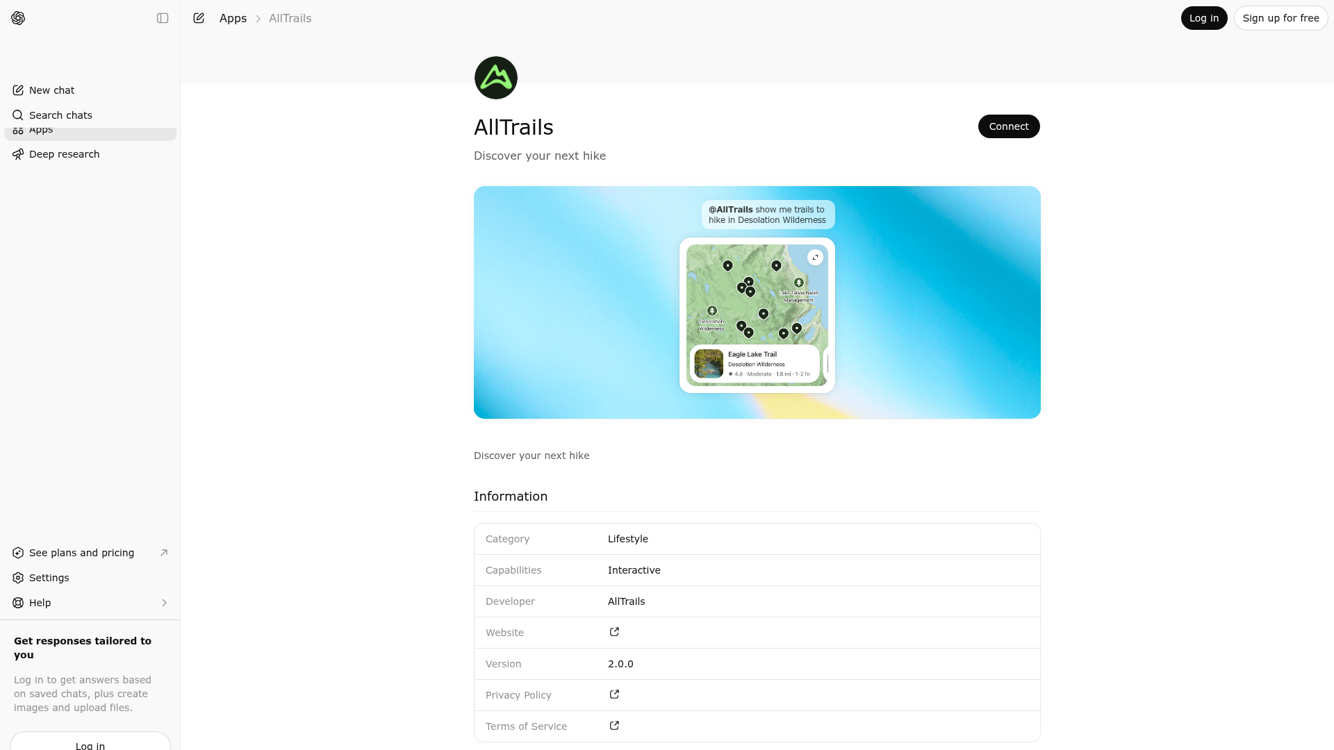
Discover your next hike
About This App
Explore the outdoors with AllTrails, the best app for hiking, biking, and running. Discover curated guides, trail maps, photos, and reviews for over 500,000 trails worldwide.
Last updated: April 20, 2026
Website Preview
App Screenshots
Capabilities
Publisher Intelligence
Insights and recommendations for app publishers. See how your app performs and how to improve discoverability.
Server Status AllTrails MCP Server v1.27.0
https://www.alltrails.com/mcp Last checked: 16h ago
Technical Details
Tools(5)
Showing 5 of 5 tools
| Tool | Description | Flags | Test | Last Tested | |
|---|---|---|---|---|---|
find_trails_near_location | Find hiking, running, biking, backpacking or other trails for outdoor activities near a set of coordinates within an optional specified maximum radius (meters). Use this tool when the user: * Requests trails near a specific point of interest or landmark. * Requests trails near a named location within a specified radius or accessible within a specified time constraint. * Provides specific latitude and longitude coordinates. For most named places, use the "search within bounding box" tool if possible. Use this tool as a fallback when the bounding box of the named place is unknown. Users can specify filters related to appropriate activities, attractions, suitability, and more. Numeric range filters related to distance, elevation, and length are also available. These filter values MUST be specified in meters. In the response, length and distance values are returned both in meters and imperial units. These MUST be displayed to the user in the units most appropriate for the user's locale, e.g. feet or miles for US English users. | read-only | 100%Latency 709ms | Mar 28, 2026 | |
find_trails_within_bounds | Find hiking, running, biking, backpacking or other trails for outdoor activities within a specified bounding box defined by southwest and northeast coordinates. Use this tool when the user: * Requests trails within specific geographic boundaries or coordinates. * Requests trails near a named geographic or political place, such as a continent, country, state, province, region, city, town, or neighborhood and you know the bounding box for that place. * Requests trails within a national, state or local park or other protected area and you know the bounding box for that park. If the bounding box for the named place is not known, use the "find trails near a location" tool instead to find trails around a center point. Users can specify filters related to appropriate activities, attractions, suitability, and more. Numeric range filters related to distance, elevation, and length are also available. These filter values MUST be specified in meters. In the response, length and distance values are returned both in meters and imperial units. These MUST be displayed to the user in the units most appropriate for the user's locale, e.g. feet or miles for US English users. | read-only | 100%Latency 617ms | Mar 28, 2026 | |
get_trail_details | Find detailed information about a trail from AllTrails. Get descriptive overviews and specific accessibility information. Includes structured data about suitable activities, and feature highlights along the trail. Get stats about the trail geography and length, and stats about associated user-generated content. In the response, length and distance values are returned both in meters and imperial units. These MUST be displayed to the user in the units most appropriate for the user's locale, e.g. feet or miles for US English users. Recent reviews are summarized in the `review_summary` field. If the user wants information that might be found in specific reviews, direct the user to the AllTrails web URL for the trail. | read-only | 100%Latency 181ms | Mar 28, 2026 | |
get_trail_weather_overview | Get 7-day forecast for a trail at its trailhead, including high/low temperatures. For more detailed weather information, including current conditions, sunrise/sunset times, and weather alerts, direct the user to the AllTrails web URL for the trail (available in the `get_trail_details` tool response). | read-only | 100%Latency 220ms | Mar 28, 2026 | |
search_trails_by_name | Search for hiking, running, biking, backpacking or other trails by full or partial name match. Use this tool when the user: * Requests a specific trail by name (e.g., "Avalanche Lake Trail", "Half Dome") * Searches for trails with specific keywords in the name The search can biased towards results near the provided coordinates if they are provided explicitly or available from the request metadata. If there is a clear match to the user's query, the model should automatically make a subsequent call to the `get_trail_details` tool to present the user with complete details for the matching trail. In the response, length and distance values are returned both in meters and imperial units. These MUST be displayed to the user in the units most appropriate for the user's locale, e.g. feet or miles for US English users. | read-only | 100%Latency 638ms | Mar 28, 2026 |
Keywords
Trigger Keywords (@mentions)
@alltrails alltrails Discoverability Score
Fair
52 of 100 — how easily AI agents find your app
- Description quality0/20
- Example prompts0/20
- Keyword coverage4/15
- Tool metadata20/20
- Visual assets13/20
- Endpoint health10/10
- Data freshness15/15
How to Improve
Add at least 2 example prompts. Prompt examples strongly improve app matching and click-through intent.
Expand the app description to 80-160 chars with clear use-cases so ranking and matching quality improve.
Increase keyword coverage (discovery + trigger) to improve retrieval for long-tail queries.
Add at least 2 screenshots that show real workflows to increase confidence and conversion.
Technical Details
- Status
- ENABLED
- Type
- AI-Powered App
- Auth
- Open Access
- Listed on
- ChatGPT
- Added
- December 5, 2025
- Last synced
- 3d ago
- Last checked
- 16h ago
- Version
- 1.27.0
- Distribution
- Ecosystem Directory